
Explore the Quiraing
The Isle of Skye is the largest of Scotland’s Inner Hebrides, famous as an area of stunning landscapes and beautiful views. People come for all sorts of activities, from mountaineering in the Cuillin, to seal and whale watching off the coast. We just love it as a place to go walking, from gentle wanders out to big days in the mountains. In fact, we’re there several times a year! One of the most intriguing places to walk is the Trotternish, one of the main places to witness Skye’s bizarre geology.
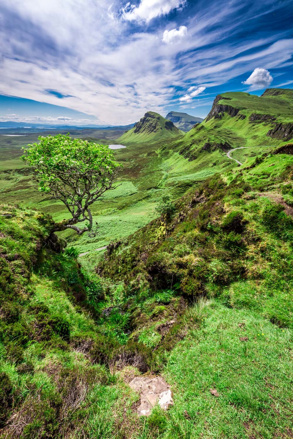
The Trotternish ridge runs the full length of one of the island’s northerly peninsulas, and in all is over 20 miles long, running south-north. The western side is one of rolling grassy hills, with views out to the Outer Hebrides. The east however is a different story. Giant cliffs and a landscape riddled with vast rock formations make it appear that something cataclysmic has occurred.
The Trotternish peninsula formed with dense, heavy volcanic rock overlying weaker, easily eroding sedimentary rock. Over the years the weaker rock became unstable, until the weight of the volcanic rock caused it to buckle and slip along a fault line. Millions of years ago, this resulted in the main feature we see today, which is the largest landslip in Britain. The Quiraing is the mort northerly part, and has a whole range of incredible rock formations resulting from the landslip.
As you walk the trail through the Quiraing, you’ll see these features. There’s the Needle, a great spire that rises over you as you walk under the cliffs. Then there’s the Prison, a great slab that has slipped down from the main cliffs and does look like a fortified building. And finally, if you venture up into the maze of gullies and cliffs that forms the main mass of tumbled rock, you’ll find the Table.
The Table is giant a flat-topped piece of the volcanic rock that has slipped down and now lies nestled in by higher jagged chunks of more fallen rock. It’s totally hidden from view from the land below, and it is where the local clan used to hide their cattle when they were under threat from Viking raiders. It is this feature which gives the Quiraing its name, meaning ‘round fold’, describing the protective nature of the hideaway.
Nowadays, with less to fear from Viking raiders, the Quiraing loop, taking you through the rock formations and then up over the hill behind, is one of the most popular walks on Skye. On a clear day you’ll see the high mountains of the mainland, the intense blue of the Sea of the Hebrides, and of course the whole of the Isle of Skye.
Of course, geology never takes a break, and even though the main event happened millions of year ago, the land is still slipping. Road repairs near the coast are required every now and then, as the giant hunks of rock settle down. So be sure to come and see it or it may have all disappeared into the sea!
We run several sociable guided walking trips to Skye each year, and on each one we aim to take you to the Quiraing, as it’s such an incredible place! Have a look at our gentle walking week Isle of Skye Adventure and Explore, or if you’re keen to head to the mountain peaks, our Isle of Skye Walking the Mountains week.