


Experience Levels
Discover how we assign levels to each of our activities.
Large Outdoors offers a large range of walking and outdoor activity experiences. It’s a tough task to allocate just one measure of ‘grade’ or ‘level’ to each! For our Multi-Day Experiences there will sometimes be a choice of walks available and there’s always the chance that we may need to amend walking or activity plans based on the group’s abilities, current weather or forecasts, conditions underfoot, local path closures, sea state, river levels, etc.
However, you can find Large Outdoors’ activity levels outlined below and on the webpage for each experience we offer you can see which level(s) we feel best applies to that particular experience.
There’s always the need to be flexible - even the best laid plans need to change sometimes - to offer our participants enjoyable and safe outdoor experiences, but hopefully these levels will help you decide which options are a suitable match for your abilities and interests.
If you have any questions about a particular experience then, please don’t hesitate to contact the office.
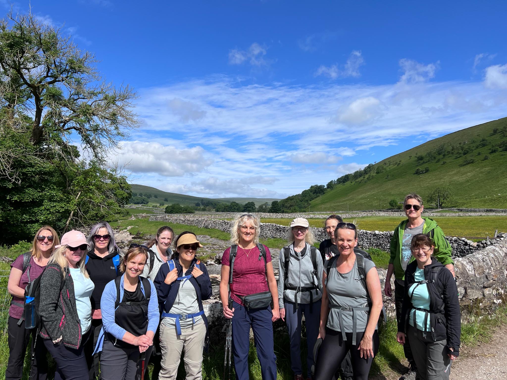
Walking Levels
-
Generally, these walking routes cross easier and less difficult terrain, but still some ascent/decent. In most of the beautiful locations we visit, it is just not possible to find completely flat routes.
Distance: These routes tend to be up to 10 miles (16km) long. Some walks at this level may be longer, but these would be on flatter routes with easier terrain.
-
As above for Leisurely, but these walking routes may be longer, or have some sections of more difficult and awkward terrain (e.g. boggy, rocky, steep sections) where you have to be walk more carefully.
-
Generally, these walking routes cross more difficult ground (e.g. boggy, rocky, loose or steep sections) and require more care They will include more ascent/descent than most leisurely routes . Paths may be less obvious or undefined (e.g. crossing heather moorland, sand dunes, scree slopes).
Distance: These routes tend to be 10-20 miles (16-32km) long. Some walks at this level may be shorter, but this is likely to mean that they will be steeper with longer ascents/descents and/or longer sections of difficult ground.
-
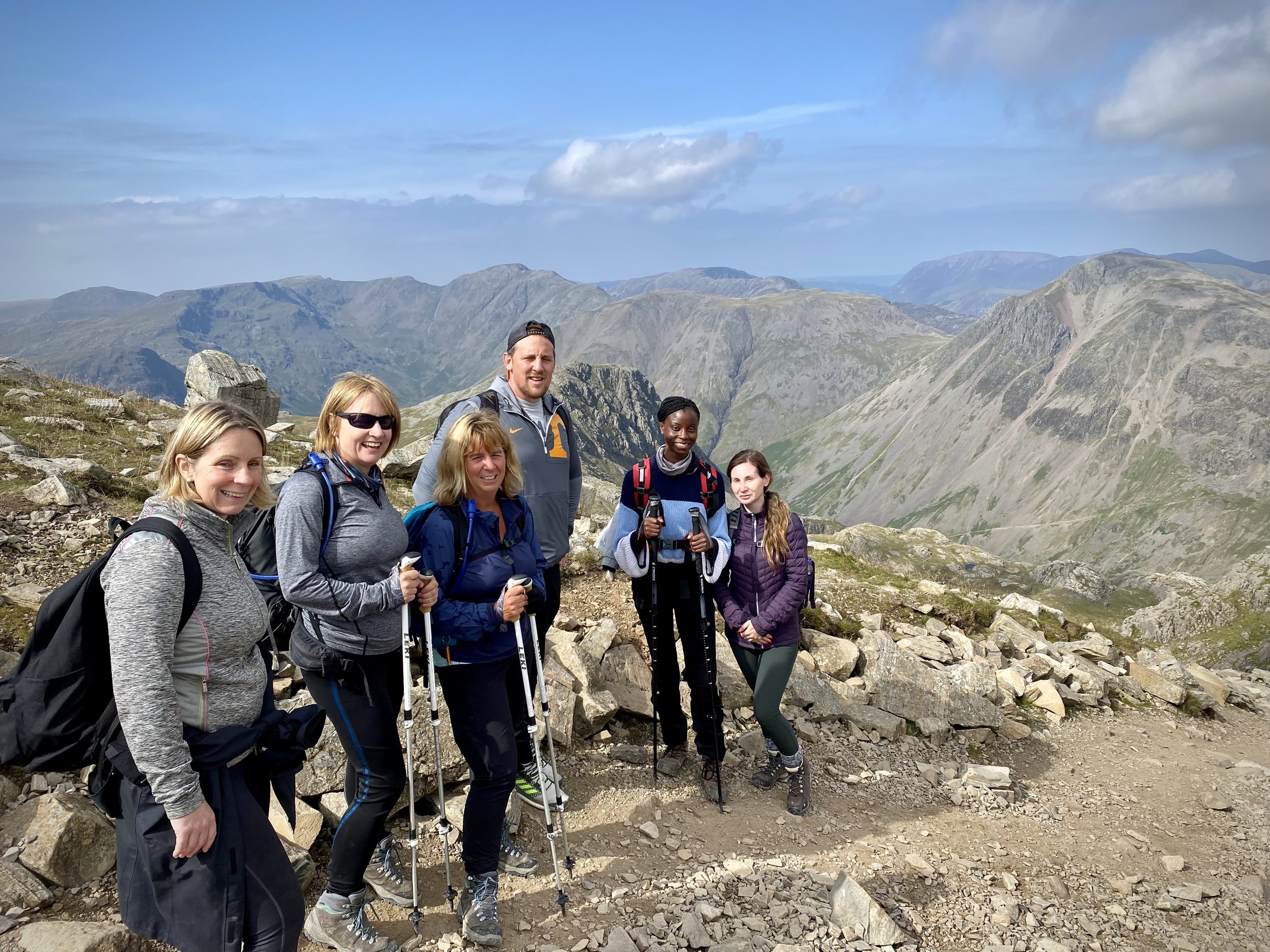
As above for Active, but these walking routes may be in more mountainous and remote areas, require a head for heights and could include short scrambles where you need to use your hands in places
Tough
We’ve split this level to more accurately describe what to expect for different activities:
-
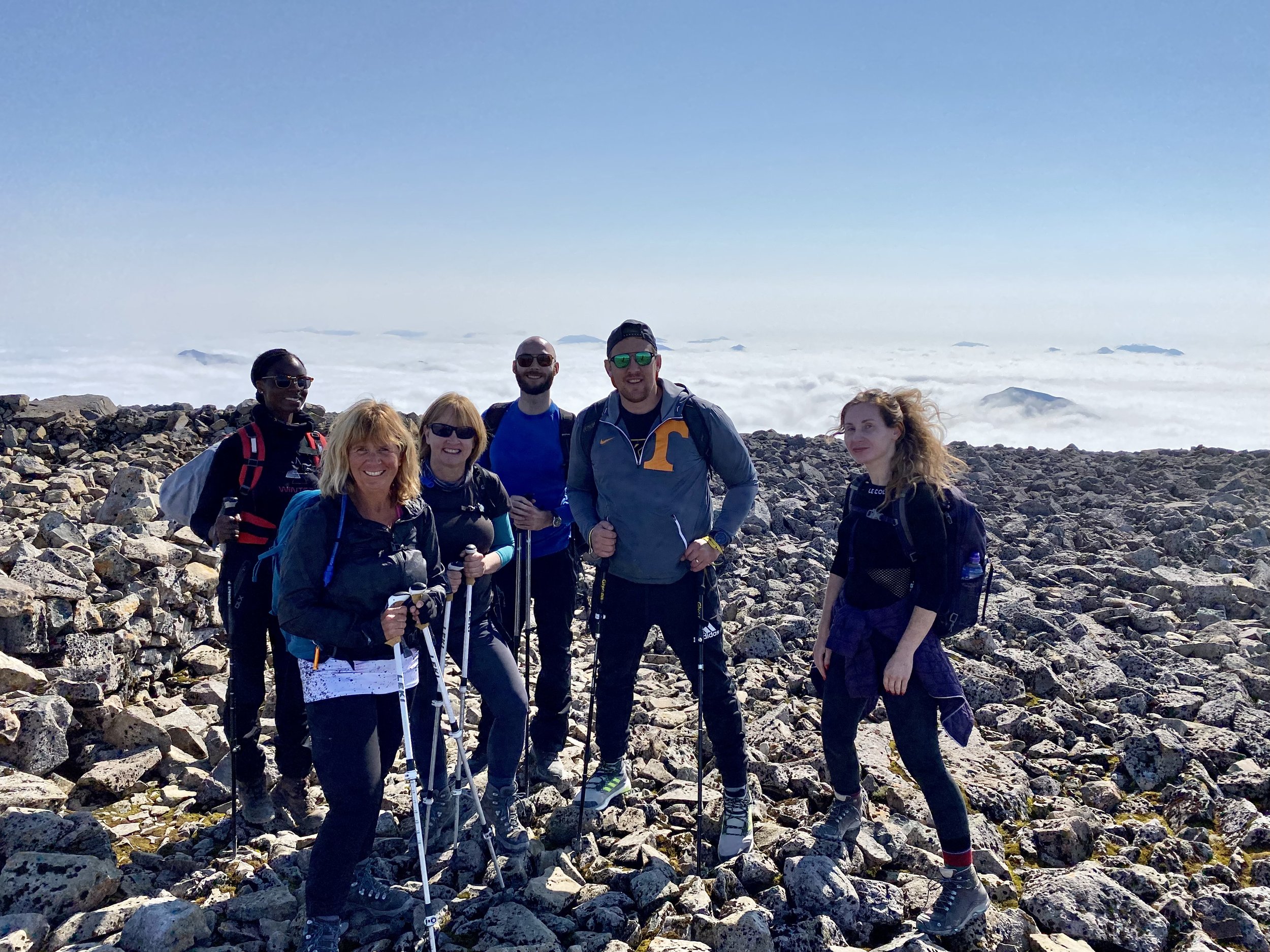
Generally, these walking routes cross mored difficult and trickier terrain (e.g. boggy, rocky, loose or steep sections) than active + routes and in mountainous and remote areas, and will include longer significant ascents/descents. Paths may be undefined (e.g. crossing heather moorland, sand dunes, scree slopes, boulder fields). Routes may require a head for heights and could include short scrambles where you have to use your hands on rock.
Distance: These routes tend to be over 20 miles (32km) long. Some walks at this level may be shorter, but these would be routes with significantly steep sections.
-
Generally, these walking routes cross difficult terrain (e.g. boggy, rocky, steep sections) in mountainous and remote areas, and will include longer ascents/descents. By the very nature of winter walking, paths may be undefined due to the mountainous terrain (e.g. scree slopes, boulder fields) and/or because of snow and ice on the ground. Although no previous winter walking experiences is required, routes do require a head for heights and could involve use of ice axes and crampons. Wearing B1 (or above) boots is compulsory to take part in these walks.
Distance: These routes tend to be up to 15 miles (24km) long, but often feel as tiring as longer routes because there’s a heavier load of kit you must wear/carry (e.g. winter clothing, B1+ boots, ice axe, crampons) and you may be exerting more effort moving through snow. Some walks at this level may be shorter, but these would be routes with significantly steep sections.
-
Generally, the walking routes on our wild camping experiences cross difficult terrain (e.g. boggy, rocky, steep sections) in mountainous and remote areas, and will include significant ascent/descent. By the very nature of wild camping, routes taken will often be away from footpaths and tracks (e.g. crossing heather moorland, streams and rivers, sand dunes, scree slopes, boulder fields) and certainly far from the convenience of toilets!
Distance: These routes tend to be up to 15 miles (24km) long, but often feel as tiring as longer routes because there’s a heavier load of kit you must carry (e.g. tent, sleeping bag/mat, food & water for multiple days).
-
Generally, the walking routes on our scrambling experiences cross difficult and steep, rocky terrain in mountainous and remote areas, and will include significant ascent/descent. You will need to use your hands and feet on the rock to make progress Paths will often be undefined (e.g. crossing scree slopes, rocky mountain-sides and boulder fields). There will be steep drops, significant time spent scrambling, and a head for heights is an absolute must!
Distance: These routes tend to be up to 15 miles (24km) long, but often feel as tiring as longer routes because scrambling is more of a whole body workout.